Cleartopia Solutions

About Us
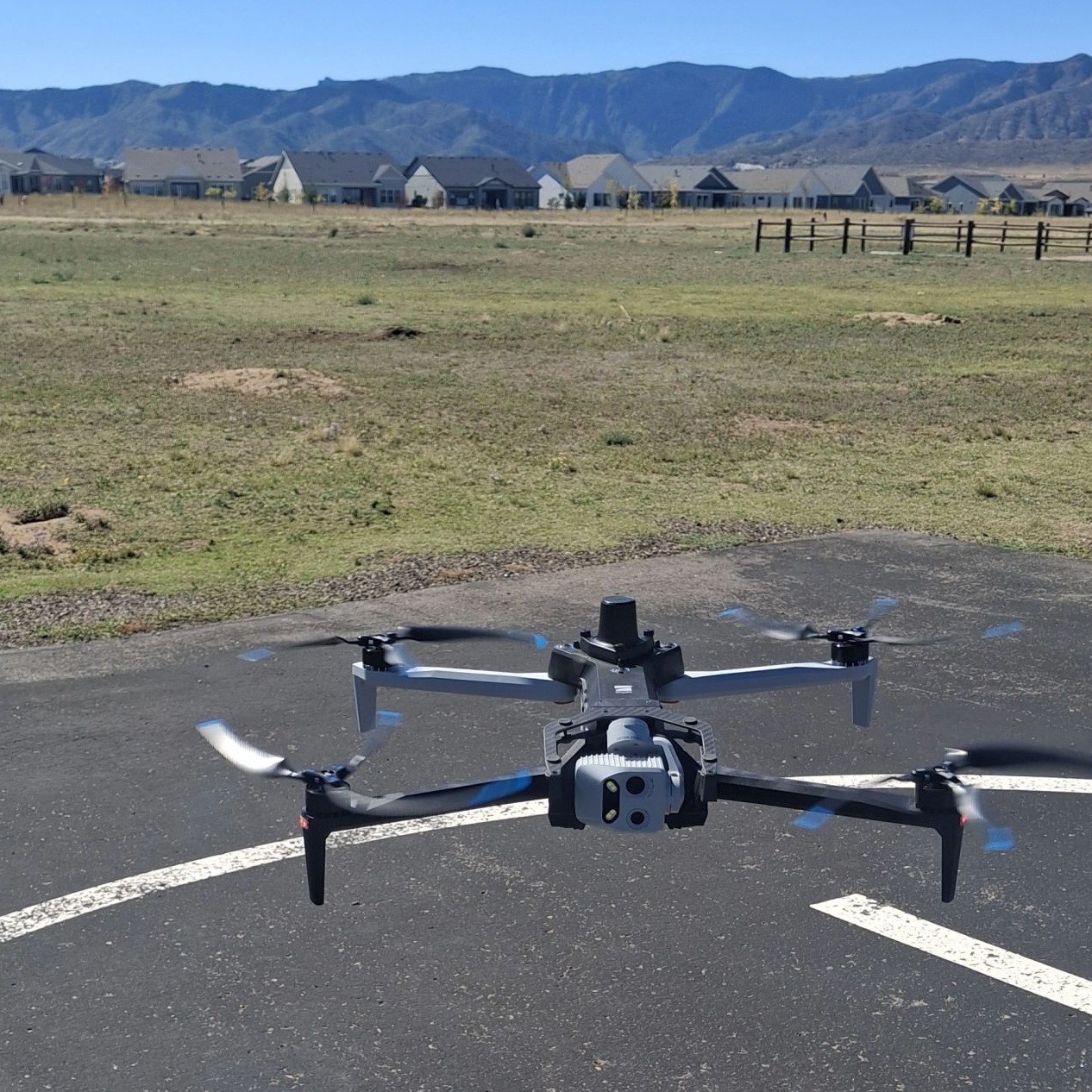
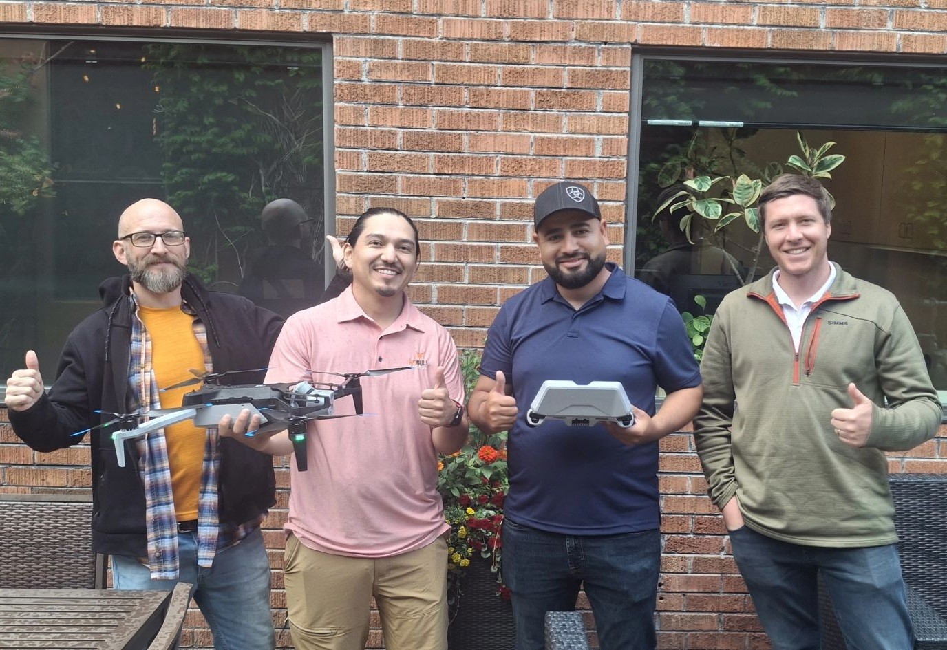
Cleartopia Solutions offers expert mapping, aerial mapping, and data services designed to help businesses visualize, analyze, and manage information with accuracy. Leveraging advanced surveying drones, ISR drone technology, geospatial mapping, and sophisticated data solutions, we deliver clear, actionable insights that support smarter decision-making and streamlined operations.
Photos


Information
-

Company
Cleartopia Solutions
-

License Number
-

Location
Denver
-

Phone
(720) 917-9381 -
-

Website
https://cleartopia.io/ -

Email
cleartopia5@gmail.com -

Trade
Appliance Services


